An irrigation dashboard can make a reading look more certain than it is. Before using that reading in an irrigation discussion, treat it as a record to verify: confirm when it was collected, what it measures, where the sensor sits, whether the sequence is complete and whether the trend fits what the team sees in the field.
This is not a search for one universal irrigation threshold. A value that is meaningful in one block, at one depth and with one sensor type may not mean the same thing elsewhere. The immediate task is simpler: decide whether the record is ready to inform a decision, usable only with caution, or should be held back pending inspection.
Start With a Decision-Readiness Check
Use a short triage before allowing a sensor reading to carry significant weight in an irrigation decision.
Ask five questions:
- Is the record identifiable? Can the team name the device, channel, field or management block, depth and measurement type?
- Is the timing clear? Does the dashboard or export show when the reading was logged, at what interval and in which time basis?
- Are the units understood? Does the team know what the number represents and whether an upward or downward movement indicates wetter or drier conditions?
- Is the pattern complete enough to interpret? Check for gaps, repeated values, flat lines or abrupt changes that need explanation.
- Does it agree broadly with other records? Compare the trend with irrigation records and a time- and location-stamped field observation.
If these questions cannot be answered, the reading may still be useful as an item for investigation, but it is not yet a strong basis for changing an irrigation plan.
This approach reflects a practical limitation of field measurement. The University of Arizona Cooperative Extension guide on field-installed soil and plant moisture sensors notes that drift and localised measurement errors can produce misleading information, and that no single sensor or method captures the full soil-plant-water situation. The publication is general extension guidance, not a local operating instruction for farms in China.
A useful internal status label can prevent a doubtful value from becoming an automatic instruction:
| Status | What it means | Appropriate use |
|---|---|---|
| Usable | Identity, timing, units, location and comparison records are sufficiently clear | Include in the irrigation review |
| Usable with caution | The reading is plausible, but one relevant uncertainty remains documented | Use alongside other evidence; do not let it decide the issue alone |
| Requires inspection | Key context is missing or the pattern cannot yet be explained | Hold it out of the decision until reviewed |
The label is not a statement that a sensor is accurate or faulty. It is a statement about the quality of the record available to the person making the decision.
Verify the Record: Timestamp, Units and Sensor Identity
A dashboard chart is not always a complete record. Before interpreting the line, inspect the fields behind it. Ideally, the team should be able to retrieve these details from the platform export, installation sheet, logger configuration and manufacturer documentation held by the farm.
Check the timestamp and interval
Confirm the date and time of the reading, the logging interval and the time zone or time convention used by the system. This matters when comparing a change in the sensor trace with irrigation start and stop times, rainfall records, maintenance work or communications alerts.
For example, a sharp change shown at 08:00 cannot be confidently linked to an irrigation event recorded at 08:00 until the team knows whether both systems use the same time basis. If the platform applies a reporting delay, aggregation period or different time zone, record that uncertainty rather than forcing a match.
Check the unit and direction of the reading
Do not assume that all soil-moisture-related displays work in the same direction or use comparable units. The exact meaning depends on the sensor and platform. A number may represent a direct sensor response, a calculated moisture value, a tension-related measure or another device-specific output.
Record:
- the unit displayed;
- the channel or measurement label;
- whether higher and lower values indicate wetter or drier conditions according to the manufacturer documentation; and
- whether the platform has converted, averaged or otherwise processed the raw reading.
If the unit label is unclear, write “unit meaning not confirmed” in the exception log. Do not relabel it from memory or compare it directly with a value from a different sensor system.
Check the device and channel identity
A sensor serial number, logger name, station identifier or channel label helps the next person find the physical device and its installation record. “Block 3 sensor” is often too vague if several depths, devices or channels are present.
A minimum record might read: “North block, Zone N-2, logger A, channel 4, installation depth as shown on installation map.” If the actual depth or channel purpose is unknown, keep that uncertainty visible. A clean chart cannot repair an incomplete installation record.
Confirm What the Sensor Represents in the Field
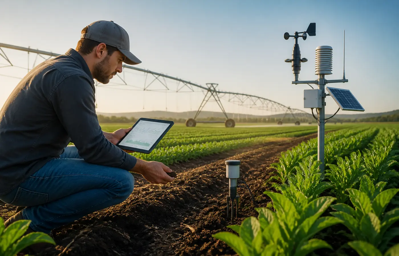
A sensor measures conditions at its installation point. It does not automatically represent an entire irrigation block, even when the dashboard groups the data under one block name.
The Washington State University Extension guidance on practical use of soil moisture sensors emphasises that soil and sensors vary, and that a measurement represents one point in the field. Similarly, the University of Arizona guide recommends considering representative locations and depths because soil-plant-water conditions are complex and localised.
Before using a reading, review the sensor against the farm’s own records:
- installation map or marked field map;
- irrigation-zone map;
- documented installation depth;
- soil or site condition recorded for that point;
- crop or rooting context recorded by the team;
- recent excavation, repair, cultivation or traffic near the installation; and
- changes to irrigation layout, valves, emitters or management boundaries.
The farm’s installation and maintenance records are the authoritative evidence for that specific site. Overseas extension publications can support the general principle that placement matters, but they do not establish local Chinese requirements, calibration methods or irrigation instructions.
Use the location review during handovers
Sensor context is often lost during a staffing change or after a system update. Add a simple location statement to the record rather than relying on informal knowledge. For example: “Sensor is located in Zone N-2; location verified against installation map on [date]; nearby repair recorded on [date].”
This does not certify that placement is ideal. It gives the next reviewer enough context to understand what the sensor is intended to represent and what may have changed around it.
Find Missing Readings and Unexpected Changes
Review the data as a sequence, not just as the latest number. A pattern may be more informative than one reading, but it may also expose a record-quality problem that needs checking.
Look for:
- missing timestamps or unexplained gaps;
- a value that remains identical over an unexpectedly long period;
- repeated values that appear to be copied or carried forward;
- sudden jumps or drops between adjacent readings;
- a change that does not fit the recorded sequence of irrigation, rainfall or field work; and
- a sensor trace that changes at a different time from related records without an explanation.
None of these patterns proves a sensor has failed. A gap may involve communications, power, logger configuration, export settings or data handling. A flat line may require a check of the device, field conditions or reporting process. An abrupt shift may reflect an irrigation event, site disturbance, a physical installation issue or another cause that cannot be identified from the chart alone.
The practical response is to document the anomaly, compare it with available records and assign responsibility for follow-up. The Arizona guide identifies inspection and calibration considerations as relevant to avoiding misleading sensor information; it should not be read as a substitute for the manufacturer’s documentation or the farm’s approved maintenance process.
A useful comparison sequence is:
- Mark the time range of the unusual pattern.
- Check irrigation logs for scheduled and completed events.
- Check rainfall or weather records available to the operation.
- Check power, communications and platform alerts.
- Check maintenance records and recent work near the sensor.
- Record what was confirmed, what remains unknown and who will inspect it.
This keeps the review evidence-based. It avoids assigning a cause merely because one explanation seems convenient.
Compare the Data With Field Observations Before Acting
Sensor data becomes more useful when it is compared with a recorded observation rather than treated as a self-contained answer. WSU Extension recommends keeping measurement records, recording observations and correlating readings with those observations.
A field observation should also be a record. At minimum, note:
- date and time;
- field, block or irrigation zone;
- observer;
- relevant location within the block;
- what was observed; and
- any nearby irrigation, repair or operational condition likely to affect interpretation.
Avoid vague notes such as “field looked dry” without a place or time. A clearer note might be: “Zone N-2, observation made after morning irrigation cycle; uneven wetting noted near access side; sensor location not physically checked.” The purpose is not to create a universal diagnosis. It is to make the later comparison reviewable.
Where the farm has an approved manual measurement or calibration procedure, those records may provide another comparison point. The Arizona publication discusses manual or gravimetric validation and site- and crop-specific calibration as important considerations for reliable information. However, teams should not improvise these procedures from a general article. Use applicable device documentation and the farm’s local protocol.
A practical decision comparison
Before recommending an irrigation change, place three records together:
- Sensor trend: the identifiable sequence, including any gap or anomaly.
- Water application record: when irrigation was planned and what was recorded as completed.
- Field observation: a dated and located note from the relevant management area.
Then state the conclusion at the same level of certainty as the evidence. For example:
- “Sensor trend and irrigation record are consistent; field observation supports continued monitoring.”
- “Sensor change is present, but the time basis has not been confirmed; use with caution.”
- “Sensor trace is inconsistent with available records and requires physical inspection before it informs the next decision.”
This wording separates observation from interpretation. It also makes it easier for an operations manager, adviser or incoming shift to see why a particular decision status was assigned.
Use a Short Exception Log and a Bounded Next Step
A short exception log is often more useful than a long discussion in a messaging group. It creates a handover record and prevents the same uncertain data issue from being rediscovered at each irrigation meeting.
Use the farm’s existing irrigation decision log or maintenance workflow where one exists. If there is no established format, record the following:
| Record field | What to enter |
|---|---|
| Date and time reviewed | When the issue was identified |
| Sensor and location | Device or channel ID, block, zone and documented depth if available |
| Issue found | Gap, unclear unit, unusual change, location uncertainty or other concern |
| Comparison made | Irrigation log, field observation, maintenance record or platform alert checked |
| Decision status | Usable, usable with caution or requires inspection |
| Responsible person | Person assigned to clarify, inspect or update the record |
| Follow-up due | A practical review date or next decision point |
Keep the next step bounded. Rather than attempting to resolve every uncertainty in one meeting, choose the issue most likely to distort the next irrigation discussion. That may be confirming a sensor depth, reconciling a timestamp, locating a communications gap or checking whether a device is still installed where the map says it is.
The goal is not to make sensor data perfect. It is to make its limitations visible enough that the team can use it proportionately. A verified record can contribute to an irrigation decision. An uncertain record can still prompt inspection. Neither should be mistaken for an automatic instruction.
Frequently Asked Questions
What should I check first when an irrigation sensor reading looks unusual?
Start with identity and timing. Confirm which device and channel produced the reading, where it is installed, what unit is displayed and when the system logged it. Then compare the timing with irrigation records, field notes and any power or communications alerts. An unusual pattern is a reason to investigate, not proof of a failed sensor.
Can one soil-moisture sensor represent an entire irrigation block?
Not automatically. A sensor represents its installation location and depth. Soil conditions, irrigation distribution, rooting conditions and field management can vary within a block. Use the farm’s installation map and field knowledge to define what the sensor is intended to represent, and avoid treating one point measurement as a complete description of the whole block.
How should a team handle missing irrigation sensor readings?
Mark the missing period, keep the available sequence intact and compare the gap with logger, communications, power, maintenance and export records. Do not fill the gap with an assumed value. Record whether the missing data affects the current irrigation decision and assign a person to investigate if it does.
Should a sensor reading override what the field inspection shows?
No single record should automatically override all others. A discrepancy is useful information: check sensor identity, placement, timestamps, units, irrigation records and the quality of the field observation. If the records remain inconsistent, classify the data as requiring inspection or usable with caution rather than claiming certainty.
Source and further reading
ACA’s practical examples and working checklists are independent editorial analysis. The linked source provides the underlying reference; it does not endorse this article.